Disclosure: This article may contain affiliate links. As an Amazon Associate, we earn from qualifying purchases. Some content may be created with the assistance of AI tools.
Understanding the Role of GPS in Dashcams
Key Takeaways
- GPS enhances the functionality of dashcams by providing location data.
- It allows for accurate speed tracking and can provide evidence in case of accidents.
- GPS-enabled dashcams are essential for rideshare drivers and commercial vehicle operators.
- Many modern dashcams offer added features like geofencing and route tracking.
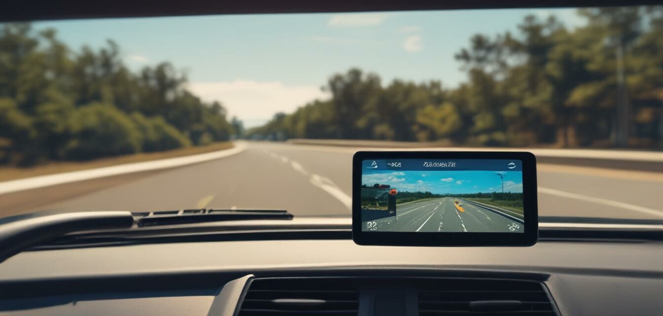
Dashcams have become an essential tool for drivers, offering insights and protection on the road. Among the various features available, GPS functionality stands out for its ability to enhance the recording capabilities of these devices. In this article, we will explore the key aspects of GPS in dashcams and its impact on your driving experience.
What is GPS?
Global Positioning System (GPS) is a satellite-based navigation system that allows devices to determine their precise location anywhere on Earth. By integrating GPS technology into dashcams, users can gain valuable data about their trips, including location, speed, and direction.
Why is GPS Important in Dashcams?
- Accurate Location Tracking: GPS enables dashcams to document the exact location of incidents, proving crucial in accident disputes.
- Speed Monitoring: Many dashcams use GPS to display your vehicle’s speed, providing evidence in the event of speeding tickets.
- Trip Data Analysis: With GPS, drivers can analyze their route history and travel patterns, making fleet management more efficient.
- Emergency Response: In cases of severe accidents, GPS helps emergency responders locate the vehicle quickly based on recorded data.
How GPS Enhances Dashcam Features
Integrating GPS within dashcams not only allows for precise location tracking but also opens up additional features:
| Feature | Description |
|---|---|
| Geofencing | Users can set safe zones, receiving alerts if the vehicle goes outside these areas. |
| Speed Alerts | Dashcams can notify drivers if they exceed a predetermined speed limit. |
| Route Mapping | Dashcams can provide maps of traveled routes, offering drivers insights into their journeys. |
| Incident Reports | Many devices generate reports that include location, speed, and other key data relevant to incidents. |
Key Considerations for Choosing a GPS Dashcam
When selecting a dashcam, consider the following factors:
- Check if the dashcam offers accurate GPS functionality—look for reviews and performance reports.
- Evaluate if additional features like speed monitoring or geofencing are beneficial for your needs.
- Consider how user-friendly the device is for accessing the GPS features.
- Review warranty and customer support, especially in case of GPS-related issues.
Conclusion
Incorporating GPS functionality in dashcams provides significant advantages, enhancing safety, accountability, and convenience for drivers. Whether you're a daily commuter, a rideshare driver, or managing a fleet, understanding the role of GPS in dashcams can help you make informed decisions on the right dashboard camera for your needs. To explore various options, check out our feature comparisons on the latest dashboard cameras or dive deeper into our buying guides for GPS-enabled models here.
Tips for Beginners
- Research the benefits of GPS before purchasing a dashcam.
- Try to look for models that allow you to access GPS data via a mobile app.
- Ensure regular updates for the GPS feature, if applicable.
- Read user testimonials to understand how GPS enhances their dashcam experience.
Pros
- Enhanced safety through accurate incident documentation.
- Improved accountability when involved in disputes.
- Additional features that increase overall usability.
Cons
- Increased cost compared to non-GPS models.
- Potential complexity with setup and usage for beginners.